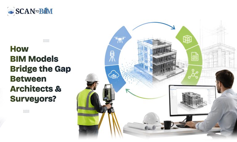
Modern construction projects demands precision, speed and seamless collaboration. However, one of the biggest challenges during the design and renovation is ensuring that the architects works with the accurate site information. Traditional survey drawings often leaves room for interpretation hence leading to the design revisions, coordination issues and construction delays. BIM has transformed this workflow …
How BIM Models Bridge the Gap Between Architects and Surveyors? Read More »
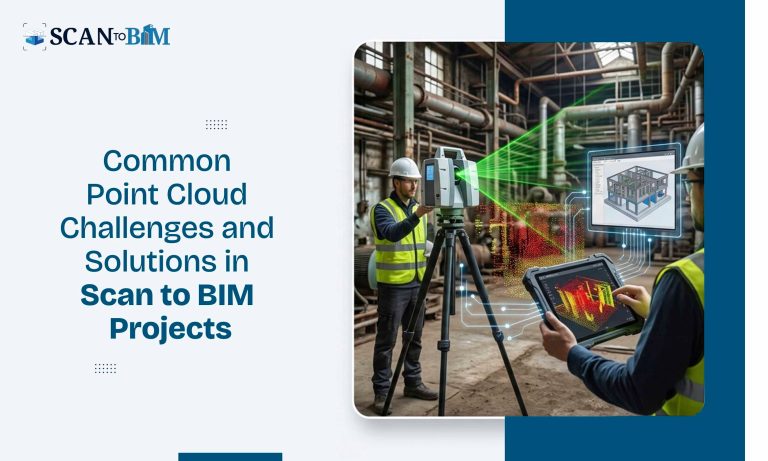
Read MoreIntroduction Laser scanning has drastically changed the way existing buildings and infrastructures are documented. From renovation and restoration projects to facility management and industrial upgrades, point cloud data provides an accurate digital representation of real-world conditions. However, collecting millions of data points is only the first step. Converting that data into a structured, intelligent BIM …
Common Point Cloud Challenges and Solutions in Scan to BIM Projects Read More »
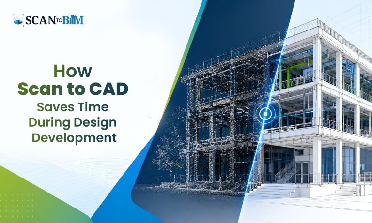
Read MoreIntroduction Modern construction and renovation projects demand speed, precision, and seamless collaboration. However, one of the biggest challenges during the design development is working with outdated, incomplete or inaccurate existing building information. Even minor discrepancies in the dimensions can lead to the design conflicts, reworks, budget overruns and project delays. This is where Scan to …
How Scan to CAD Saves Time During Design Development? Read More »
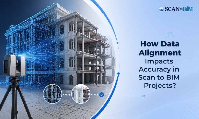
Read MoreLaser scanning and reality capture technologies are rapidly reshaping the AEC industry. Modern renovation, retrofit, industrial and infrastructural projects increasingly depends on the accurate digital representations of existing conditions. At the center of this workflow lies Scan to BIM — a digital process that converts reality-captured point cloud data into detailed BIM models. However, the …
How Data Alignment Impacts Accuracy in Scan to BIM Projects? Read More »
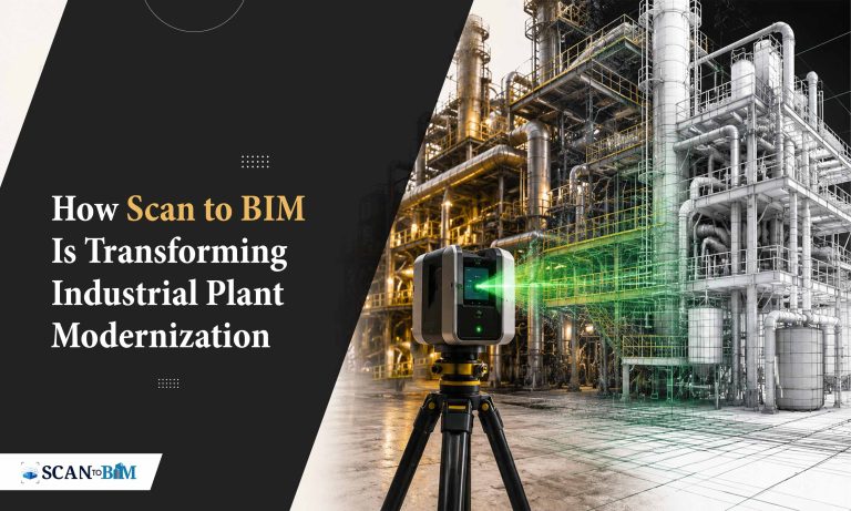
Read MoreIndustrial facilities are among the most complex environments to digitize. Unlike the conventional residential or commercial structures, industrial plants consist of dense mechanical systems, interconnected pipelines, heavy machinery, hazardous zones and continuously evolving layouts. This complexity has made Scan to BIM an essential process for industries aiming to modernize operations, improve maintenance planning and support …
How Scan to BIM Is Transforming Industrial Plant Modernization? Read More »
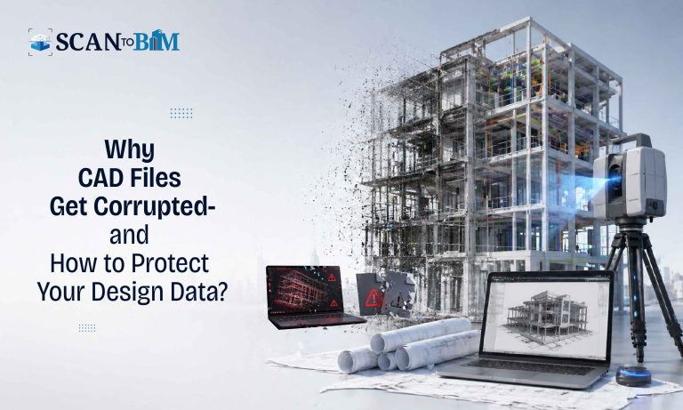
Read MoreIn today’s design-driven AEC workflows, CAD files are more than just drawings—they are the critical data assets that drives the design decisions, coordination, fabrication and construction. However, file corruption remains one of the most underestimated risks in the digital design environments. A single corrupted file can disrupt the timelines, compromise the data integrity and lead …
Why CAD Files Get Corrupted—and How to Protect Your Design Data? Read More »
Read MoreIn modern reality capture and digital construction workflows, the scan data is the foundation of every successful BIM model. But what happens when that foundation is flawed? Incomplete scan data is one of the most common and costly challenges in Scan-to-BIM workflows, often leading to inaccurate models, reworks, delays and compromised decision-making. This blog explores …
The Hidden Risks of Incomplete Scan Data in Scan-to-BIM Projects Read More »
Read MoreConstruction sites remain one of the most complex and high-risk work environments in the built industry. According to the global construction safety reports, the construction sector accounts for over 20% of workplace fatalities worldwide, even though it represents a smaller portion of the global workforce. Many of these incidents occurs due to poor site planning, …
How BIM Improves Construction Site Safety Planning and Risk Prevention Read More »
Read MoreIntroduction As-built data accuracy is the backbone of reliable BIM workflows. However, relying on a single data capture method often results in gaps—either in precision, coverage or visual context. This is where the integration of UAVs (Unmanned Aerial Vehicles), LiDAR and photogrammetry becomes a game-changer. By combining these technologies, AEC professionals can generate highly accurate, …
How UAV, LiDAR, and Photogrammetry Enhance BIM Model Accuracy? Read More »
Read MoreIntroduction Reality capture has transformed how existing conditions are documented across the AEC industry. Using laser scanning, photogrammetry and drone-based surveys, project teams can collect millions of data points to create highly accurate digital representations of the real-world environments. However, when it comes to the complex sites—such as industrial facilities, heritage structures, dense urban environments …
From Laser Scans to Usable Models: Overcoming Complexity in Reality Capture Read More »
Read More