Introduction
In today’s rapidly evolving technological landscape, businesses and industries constantly seek innovative solutions to enhance efficiency, accuracy, and productivity. One such groundbreaking technology that has gained widespread recognition and adoption is point cloud surveying. Point cloud surveys are transforming how we capture and analyze spatial data, offering various benefits across various sectors. This article will explore how a point cloud survey adds significant value and why it has become an indispensable tool for numerous applications.
What is a Point Cloud Survey?
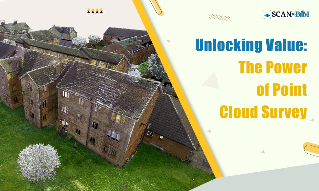
Before diving into the value of point cloud surveys, let’s clarify what they are. A point cloud survey is a highly detailed and accurate 3D representation of the environment or object created by capturing a multitude of data points from laser scanners, LiDAR (Light Detection and Ranging) devices, or photogrammetry techniques. These data points, often called “point clouds,” collectively form a digital model that can be manipulated and analyzed for various purposes.
Now, let’s delve into how point cloud surveys add value in different domains.
1. Architecture and Construction
Point cloud surveys have revolutionized the architecture and construction industry by providing architects, engineers, and contractors with incredibly precise and comprehensive data for project planning, design, and execution.
- As-Built Documentation: Point cloud surveys allow for accurate as-built documentation of existing structures, eliminating the need for time-consuming and error-prone manual measurements. This ensures that new construction aligns perfectly with existing conditions.
- Clash Detection: Identifying clashes or conflicts between design and reality is critical in complex construction projects. Point Cloud to BIM Services helps identify clashes prior to construction, avoiding costly rework and delays.
- Site Analysis: Precise 3D models of construction sites enable better site analysis, helping stakeholders make informed decisions about logistics, safety, and project progress.
2. Civil Engineering and Infrastructure
Infrastructure projects like highways, bridges, and railways benefit immensely from point cloud surveys.
- Topographic Mapping: Point clouds provide detailed topographic maps that assist in terrain analysis, flood modeling, and route optimization, ensuring efficient and sustainable infrastructure development.
- Asset Management: Public agencies use point cloud surveys to maintain and manage infrastructure assets, such as monitoring the condition of bridges and identifying maintenance needs.
3. Archaeology and Cultural Heritage
Preserving and studying historical sites and artifacts require meticulous documentation. Point cloud surveys have revolutionized archaeology and cultural heritage preservation.
- Digital Preservation: Point clouds enable the creation of highly detailed digital replicas of historical sites and artifacts, safeguarding them for future generations and facilitating remote study.
- Restoration and Reconstruction: Archaeologists and historians use point cloud data or scanned data to aid in restoring and reconstructing damaged or deteriorating heritage sites, ensuring their preservation for the future using precise Scan to CAD Services.
4. Environmental Monitoring
Understanding our natural environment is vital for conservation and resource management. Point cloud surveys are instrumental in this domain.
- Forestry: LiDAR-based point cloud surveys help map and monitor forests, track changes in tree canopy heights, and estimate biomass, aiding in sustainable forestry practices.
- Coastal Erosion: Point clouds assist in monitoring coastal erosion and assessing its impact on shorelines, helping communities plan and implement coastal defense strategies.
5. Manufacturing and Industrial Facilities
Point cloud surveys are pivotal in optimizing manufacturing processes and improving workplace safety.
- Quality Control: Manufacturers use point clouds for precise quality control, ensuring products meet strict specifications and tolerances.
- Plant Design and Layout: Point cloud surveys help optimize plant design and layout in industrial facilities, enhancing operational efficiency and safety.
6. Real Estate and Property Management
Real estate professionals leverage point cloud surveys to enhance property assessment and management.
- Virtual Tours: Point cloud data can be used to create immersive virtual tours of properties, giving potential buyers or renters an in-depth look without physically visiting the location.
- Space Planning: Property managers use point clouds to efficiently plan space utilization, helping tenants make the most of their rental spaces.
Conclusion
Point cloud surveys are a transformative technology that adds substantial value across a wide range of industries and applications. From streamlining construction processes to preserving our cultural heritage and safeguarding our environment, point clouds have become an invaluable asset for professionals and organizations seeking precision, efficiency, and accuracy in their work.
As technology continues to evolve and point cloud surveying methods become increasingly attainable, we can anticipate a surge in future innovation and the creation of even more substantial value. With their ability to capture the world in three dimensions with unprecedented detail, point cloud surveys are undoubtedly here to stay, shaping how we perceive and interact with our physical world.