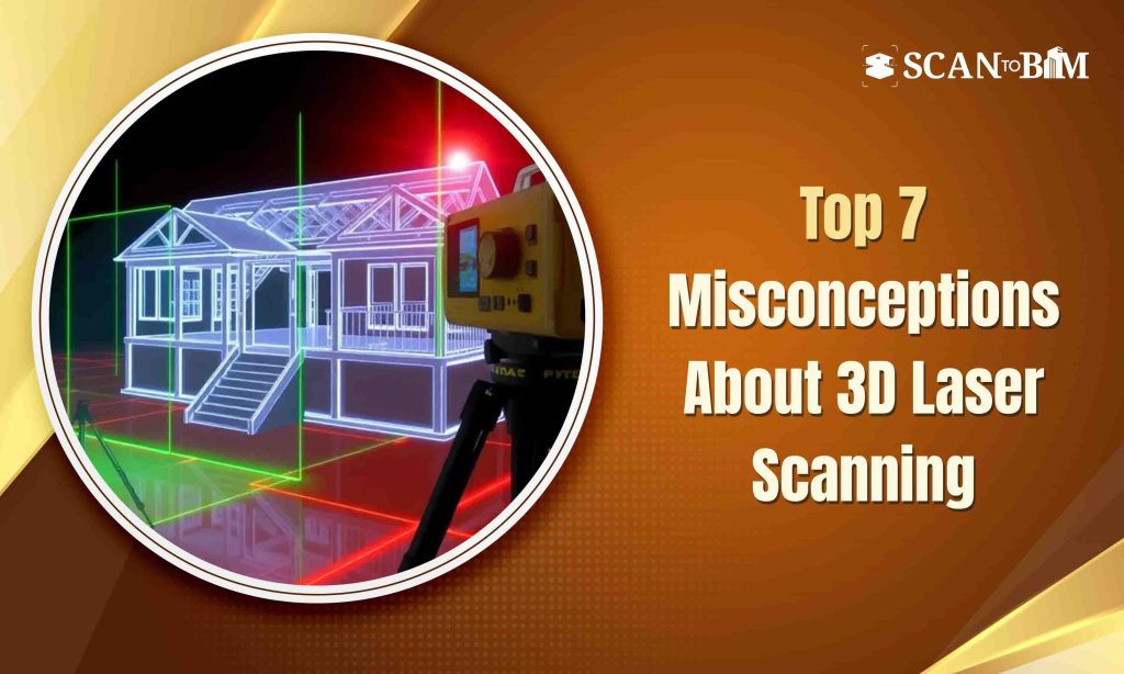
In the AEC industry, where precision and efficiency are crucial, 3D laser scanning has become an indispensable technology. It offers a fast and accurate method for capturing real-world site data that can be transformed into the rich 3D models and precise 2D drawings. Yet, despite its wide range of applications—from the heritage conservation to MEP coordination—several misconceptions still hinder its full adoption.
Let’s address the top 7 most common misconceptions about 3D laser scanning and uncover the technical truths behind them.
Misconception 1: 3D Laser Scanning Isn’t Accurate Enough
Reality: This remains one of the most enduring misconceptions. The truth is, high-end terrestrial laser scanners can deliver accuracy of ±1–2 mm even over the long distances. These devices use LiDAR technology and high-precision sensors to generate millions of data points in a single scan.
This data set of point clouds forms the base for the reliable as-built documentation and modeling. When this data is converted using the Scan to BIM Services, it supports the detailed LOD 300–400 models that are ideal for clash detection, retrofit planning as well as for the construction validation.
Misconception 2: 3D Laser Scanning is Too Slow
Reality: Quite the opposite—3D laser scanning is significantly faster than traditional methods of manual measurement. A single scanner setup can capture a full 360° view of a space in just a few minutes covering thousands of square feet in a single site visit.
While the post-processing stage (like point cloud registration, noise reduction and modeling) takes time and expertise, the overall turnaround is still faster and more accurate than the manual surveying especially when delivering the Scan to CAD Services like floor plans, elevations and sections.
Misconception 3: It’s Too Expensive
Reality: Although laser scanning equipment and software can be costly, the total cost of ownership (TCO) is justified by the value it brings. By minimizing errors, reworks and site revisits, the laser scanning helps save time, labor and even the money across the entire project lifecycle.
And when outsourced to professionals offering Scan to BIM Services or Scan to CAD Services, businesses gain access to the high-quality outputs without the need to invest in the hardware or specialized software.
Misconception 4: It’s Only for Large-Scale Projects
Reality: While commonly used on the large commercial and infrastructural projects, the 3D laser scanning is equally beneficial for the small to mid-sized projects. Whether you’re planning a home renovation, scanning a retail space or documenting a heritage site, the technology scales well to the different project sizes and complexities.
Misconception 5: It’s Complicated to Use
Reality: Modern 3D scanners are designed to be user-friendly with automated controls, mobile apps and intuitive workflows. Many models offers the real-time previews and automatic point cloud alignment making the data capture simple.
That said, the technical complexity lies in the data registration, segmentation and modeling. That’s where the specialists come in—ensuring the transition from scan to model is accurate, clean and project-ready.
Misconception 6: It Only Captures Geometry
Reality: 3D laser scanning captures much more than just physical shapes. Depending on the scanner type, it can record:
- The RGB color data for the photorealistic renders
- Reflectivity and intensity values for the surface analysis
- Thermal signatures for the facility diagnostics (in the advanced systems)
This multidimensional data allows for the intelligent modeling when processed through the BIM workflows enabling the asset tagging, maintenance scheduling as well as the spatial analytics.
Misconception 7: Traditional Surveys Are More Reliable
Reality: Traditional surveys depend heavily on the manual measurements and can often miss the irregular geometries or even the hidden obstructions. They are susceptible to human error and can only collect a limited number of data points.
In contrast, the 3D laser scanning records millions of data points per second offering full spatial coverage and millimeter-level accuracy. When transformed through Scan to CAD Services these point clouds provide reliable, scalable documentation that meets modern design along with the regulatory standards.
The Technical Takeaway
- Scanning Accuracy: ±1–2 mm
- Speed: 360° scans in under 5 minutes per location
- Data Output: High-resolution point clouds (often 10+ GB per site)
- Deliverables: LOD 200–400 BIM models, 2D CAD drawings, clash detection reports
- Software Used: Autodesk ReCap, Revit, AutoCAD, Navisworks, CloudCompare, etc.
Conclusion: Rethinking 3D Laser Scanning for Modern Construction
When used correctly, the 3D laser scanning is fast, accurate and cost-effective—delivering high-quality spatial data that supports better planning, coordination and construction outcomes. Whether you’re working on a renovation, expansion or even on a facility maintenance project, combining the laser scans with the Scan to BIM Services or Scan to CAD Services ensures that your digital assets are as close to the reality as possible.
Curious how 3D scanning can enhance your project?
Let our experts help you turn real-world sites into the intelligent digital models accurately and efficiently.