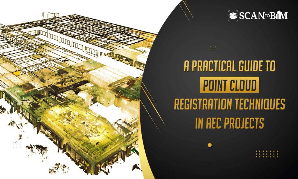
Point cloud registration forms a foundational step in converting raw laser scan data into usable digital models. Whether the data is captured using terrestrial laser scanners, mobile mapping systems or drones, individual scans must be accurately aligned into a single coordinate system. This process ensures the spatial consistency and forms the foundation for the downstream workflows such as modeling, clash detection and digital twins.
In this blog, we explain the major point cloud registration techniques used in the AEC industry, along with the advantages and disadvantages of each method, helping you choose the right approach for your project needs.
What Exactly Is Point Cloud Registration?
Point cloud registration is the technique used to combine multiple scans taken from different locations into one cohesive point cloud. Since no single scan can capture an entire building or site, multiple scans are taken and later registered using the mathematical and geometric relationships.
Accurate registration is essential for reliable measurements, geometry extraction and model creation—especially when the data is later used by a Scan to BIM Company to develop precise Revit or IFC models.
Key Point Cloud Registration Techniques
1. Target-Based Registration
Target-based registration uses the physical reference objects such as spheres, checkerboards or coded targets—placed strategically throughout the scanning environment. The targets are visible in multiple scans and act as reference points for scan alignment.
Advantages
- High accuracy and repeatability
- Works well in large and complex environments
- Ideal for projects requiring strict dimensional tolerances
Disadvantages
- Requires pre-planning and physical access to the site
- Additional time spent on placing and removing the targets
- Not always feasible in restricted or operational facilities
2. Cloud-to-Cloud Registration
Cloud-to-cloud registration aligns the scans by directly comparing overlapping point cloud geometry. The most commonly used algorithm for this method is Iterative Closest Point (ICP).
Advantages
- No physical targets required
- Faster setup during site scanning
- Suitable for indoor and irregular environments
Disadvantages
- Requires sufficient overlaps between the scans
- Less reliable in featureless or repetitive spaces
- Accuracy depends heavily on the initial alignment
3. Feature-Based Registration
Feature-based registration identifies the distinct geometric features such as corners, edges, pipes or columns and uses them to align the scans.
Advantages
- Effective in structured environments like buildings and plants
- Reduced need for targets
- Useful when the geometry has strong identifiable features
Disadvantages
- Struggles with organic or cluttered spaces
- Feature extraction can be resource-intensive.
- Accuracy varies based on the feature clarity
4. Manual Registration
Manual registration involves user intervention to identify the common reference points or planes between the scans and aligns them accordingly.
Advantages
- Helpful for correcting problematic or misaligned scans
- Offers greater control in complex situations
- Useful when automated methods fails
Disadvantages
- Time-consuming
- Highly dependent on operator skillset
- Increased risk of human errors
5. GPS / Control Point-Based Registration
This method uses georeferenced control points collected via GPS or total stations to align the scans within a real-world coordinate system.
Advantages
- Enables global positioning and geospatial accuracy
- Ideal for large infrastructure and outdoor projects
- Simplifies integration with GIS and survey data
Disadvantages
- Requires additional survey equipments
- Less effective indoors
- Higher upfront cost and coordination effort
The Importance of Accurate Point Cloud Registration
Accurate point cloud registration directly impacts the quality, reliability and usability of the scan data throughout the project lifecycle. Even the minor alignment errors can propagate into the significant issues during modeling and construction.
Key reasons why accuracy matters:
- Dimensional reliability: Poor registration can lead to incorrect measurements thereby affecting the design validation and as-built accuracy.
- Modeling efficiency: Well-registered point clouds reduces manual cleanup and reworks during the modeling.
- Clash detection and coordination: Misaligned scans can result in false clashes or overlooked conflicts in BIM coordination.
- Construction decision-making: Inaccurate geometry can cause costly errors in the fabrication, installation and sequencing.
- Digital twin readiness: Accurate spatial alignment is essential for operational and asset management use cases.
For teams delivering professional Point Cloud Modeling Services, registration accuracy is the foundation that ensures the confidence in every downstream BIM deliverable.
Tips for Optimising Point Cloud Registration
Achieving high-quality registration requires a combination of planning, technology and expertise. Below are practical tips to optimize the process:
- Plan Scan Positions Strategically
Ensure adequate overlap between the scans—typically 30–40%—to improve the cloud-to-cloud alignment reliability.
- Use Targets Where Accuracy Is Critical
For projects requiring high precision, combine cloud-to-cloud registration with well-distributed physical targets.
- Maintain Consistent Scanning Resolution
Avoid mixing drastically different scan resolutions, as this can reduce the alignment accuracy and processing efficiency.
- Clean Noise Before Final Registration
Remove unnecessary objects such as moving people, vehicles or vegetation before finalizing the alignment.
- Validate Registration Errors
Always review the registration reports and residual error values to confirm the alignment accuracy before modeling.
- Combine Multiple Registration Methods
Hybrid workflows—using targets, features and cloud-to-cloud methods—often deliver the best balance of speed and accuracy.
- Use Experienced Operators
Registration quality depends heavily on the expertise of the team handling the data and interpreting results.
Final Thoughts
Point cloud registration varies by project and cannot be approached with a single standardized method. Each technique offers unique strengths along with the limitations, and the success of a project depends on selecting the right method based on the site conditions and project objectives. Accurate registration leads to cleaner datasets, reduced modeling time and better decision-making across the project lifecycle.
As reality capture adoption grows across the AEC industry, mastering point cloud registration techniques and optimizing them effectively—remains essential for delivering reliable, high-quality BIM outcomes.