
The AEC industry is rapidly shifting towards the data-driven project delivery. Whether it is renovation, retrofit, facility management or adaptive reuse, the quality of existing building documentation significantly influences the project success. However, many existing structures still rely on the outdated drawings, incomplete records or manual measurements that often fails to represent the actual site conditions.
Traditional site surveys have served the industry for decades, but today’s projects demands higher accuracy, faster turnaround and richer digital information. This is where Scan to BIM Services is holding as to the most preferred approach.
By capturing millions of precise measurements in a matter of minutes and converting them into intelligent BIM models, laser scanning enables the AEC teams to make the apt decisions. But does every project require Scan to BIM? Understanding when it offers clear advantages over conventional surveying methods can help organizations to improve the project outcomes while minimizing the costly errors.
Understanding Traditional Site Surveys
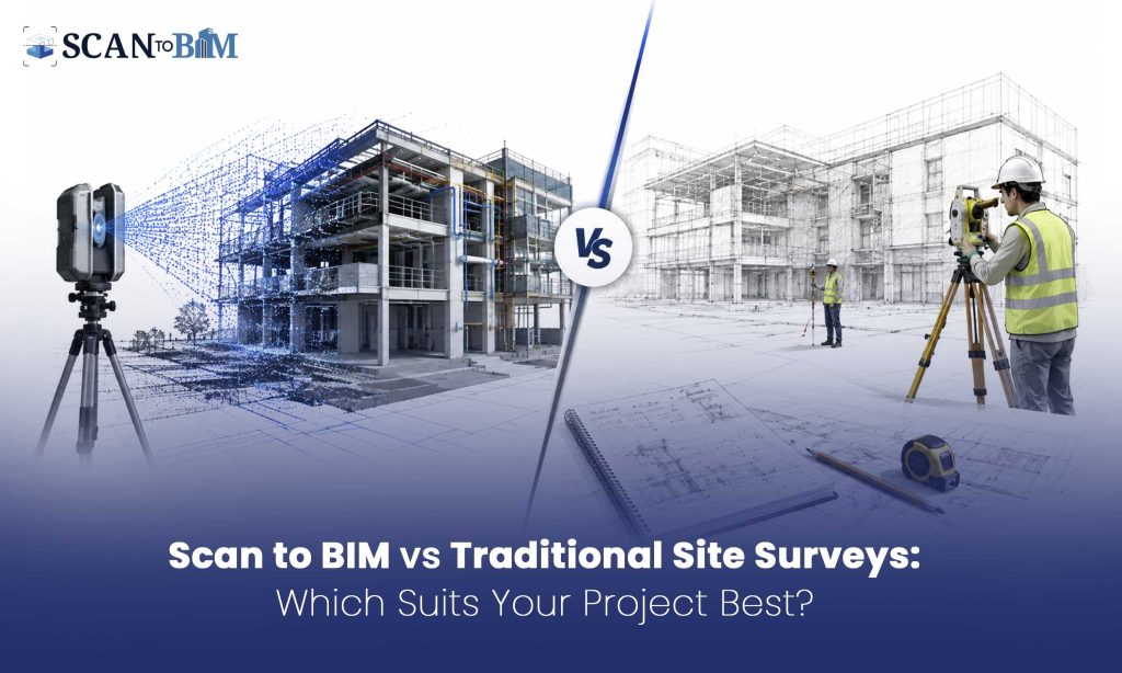
Traditional site surveys typically involves manual measurements using tape measures, total stations, GPS equipment and field observations. Surveyors collects the dimensions, elevations and spatial information before producing the CAD drawings or reports.
While this method remains effective for many small-scale projects, it has several limitations:
- Time-consuming field data collection
- Higher dependency on manual measurements
- Increased possibility of human error
- Limited visual documentation
- Difficulty in capturing complex architectural details
- Multiple site visits for missing information
For straightforward construction layouts, these methods continues to be practical. However, as project complexity increases, traditional surveying often becomes less efficient.
What Is Scan to BIM?
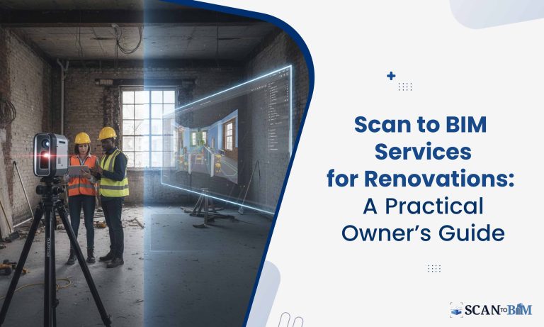
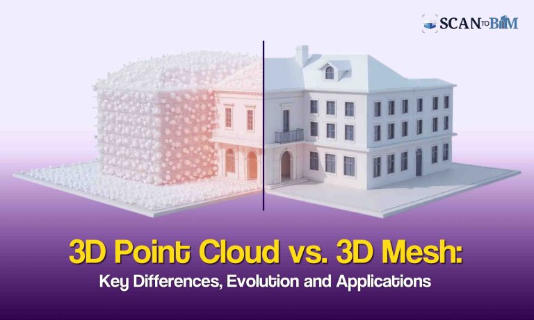
Scan to BIM is involves capturing of the current buildings or infrastructure using the 3D laser scanners or LiDAR technology. These scanners generates dense point clouds consisting of millions—or even billions—of highly accurate spatial data points.
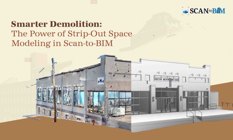
The collected data is then processed through Point Cloud to BIM Conversion Services, where the experienced BIM specialists creates intelligent 3D models containing architectural, structural and MEP information suitable for the design, coordination and facility management.
Unlike the manual surveys, Scan to BIM creates a comprehensive digital representation of the entire built environment rather than just recording the selected dimensions alone.
Why the Industry Is Moving Towards Reality Capture?
The demand for accurate digital building data continues to grow alongside the adoption of BIM Modeling worldwide.
Some notable industry trends includes:
- According to Autodesk, poor project data and reworks continues to account for billions of dollars in construction losses annually, highlighting the importance of accurate existing-condition information.
- Research from Dodge Construction Network indicates that BIM adoption continues to increase globally, particularly for renovations, infrastructures and complex commercial projects where existing conditions are critical.
- Modern terrestrial laser scanners can capture millions of measurement points per second with accuracy reaching ±2–3 mm, depending on the scanner and project conditions.
- Digital twins, smart buildings and predictive facility management are accelerating the investments in reality capture technologies across the AEC sector.
These trends demonstrates why the organizations increasingly prioritizes the precise digital documentation over the traditional measurement methods.
When Should You Choose Scan to BIM?
- Renovation and Retrofit Projects
Renovation projects rarely match their original construction drawings. Buildings undergo numerous undocumented modifications over decades.
Laser scanning accurately records the building’s current physical condition, thus reducing the design assumptions and minimizing the unforeseen issues during the construction.
Ideal for:
- Office renovations
- Hospitals
- Hotels
- Educational facilities
- Industrial upgrades
- Historic and Heritage Buildings
Historic buildings often features the intricate geometries, decorative elements and irregular construction that are extremely difficult to measure manually.
Scan to BIM captures these complex details without physically disturbing the structure thus making it invaluable for restoration and conservation projects.
- Large Commercial Facilities
Airports, shopping malls, manufacturing plants and data centers contains thousands of interconnected architectural and MEP components.
Manual surveying of these facilities can take weeks and still leave data gaps.
Laser scanning captures comprehensive spatial information efficiently thus allowing the designers to revisit the digital model without repeated site visits.
- Complex MEP Environments
Mechanical rooms, utility corridors and plant facilities often contains densely packed systems.
Traditional measurements struggles to document every pipe, duct, cable tray and structural elements accurately.
Point cloud data provides complete visibility, supporting the clash-free coordination during the design and installation.
- Projects Requiring High Accuracy
Certain projects cannot tolerate measurement errors.
Examples includes:
- Prefabrication
- Modular construction
- Structural steel fabrication
- Equipment installation
- Industrial process facilities
Millimeter-level accuracy helps in reducing the fabrication mistakes and costly field modifications.
- Buildings with Missing or Outdated Drawings
Many facilities still rely on the paper drawings created decades ago.
Unfortunately, these documents often fails to reflect renovations, extensions or maintenance activities.
Reality capture provides accurate as-built documentation that becomes the foundation for reliable BIM models.
- Fast-Track Construction Projects
When project schedules are compressed, every additional site visit affects the timelines.
Laser scanning captures the comprehensive data during a single visit, enabling multiple teams to work simultaneously from the same digital dataset.
This significantly improves the project coordination while reducing the delays.
Scan to BIM vs Traditional Site Surveys
| Criteria | Traditional Survey | Scan to BIM |
| Data Collection | Manual measurements | Automated laser scanning |
| Accuracy | Depends on manual methods | Millimeter-level precision |
| Site Time | Longer | Faster for large or complex sites |
| Complex Geometry | Difficult | Easily captured |
| Visual Documentation | Limited | Complete point cloud record |
| Future Reference | Limited | Permanent digital dataset |
| BIM Readiness | Requires additional modeling | Direct BIM workflow |
Key Benefits of Choosing Scan to BIM
Improved Accuracy
Comprehensive point cloud datasets reduces the risk of missing dimensions and improves the confidence in design decisions.
Reduced Reworks
Accurate existing-condition models helps to identify the potential conflicts before the construction begins thus minimizing the costly changes on site.
Better Collaboration
Architects, engineers, contractors and owners work from the same source thus improving the communication across project teams.
Enhanced Design Confidence
Designers can verify measurements directly within the point cloud rather than just relying solely on the field notes.
Supports the Entire Asset Lifecycle
The resulting BIM model serves as a reliable digital asset for maintenance planning, future renovations, space optimization and digital twin implementation throughout the building’s lifecycle.
Are Traditional Surveys Becoming Obsolete?
Not entirely.
Traditional surveys remains appropriate for:
- Small residential projects
- Simple land surveys
- Basic topographic surveys
- Projects with limited documentation requirements
However, as the project’s complexity, digital collaboration and BIM adoption continues to grow, reality capture provides significantly greater value for many commercial, industrial and infrastructural projects.
Rather than just replacing the traditional surveying completely, Scan to BIM complements the conventional methods by delivering richer, more accurate and reusable project data.
Conclusion
Choosing between the traditional site surveys and Scan to BIM depends on the project’s scale, complexity, accuracy requirements and long-term objectives. While manual surveys remains effective for straightforward applications, projects involving renovations, complex MEP systems, heritage structures or large commercial facilities benefits substantially from the reality capture.
By combining the precise laser scanning with intelligent BIM modeling, organizations can reduce reworks, improve collaboration and establish a reliable digital foundation for design, construction and facility management.
As the AEC industry continues to embrace the digital transformation, Scan to BIM is becoming an essential workflow for delivering accurate, efficient and future-ready projects.